FIRE TOWERS IN NORTH HASTINGS
I have always had a fascination with fire towers. Due to their nature they were easily spotted. Rising at first light while guiding a canoe trip we crossed Lake Nipissing while the lake remained calm. Being a shallow, but large body of water, she could flare up at a moment’s notice so we took advantage of a quiet morning. As far as taking a bearing to cross the lake and not become lost we headed for the fire tower on the far shore.
At Anima Nippissing there was a fire tower cabin on the lake’s shore. We landed and followed the trail that led to the tower. It was unmanned at that time but still accessible so we climbed for a better view of the area. In the off season I contacted the Lands & Forests and asked if I could purchase the lakeside water access cabin since the tower had been decommissioned. L&F wasn’t interested in selling. It was about this time that ministry was selling off such properties and torching ranger cabins in Algonquin Park so I anticipated a more encouraging response.
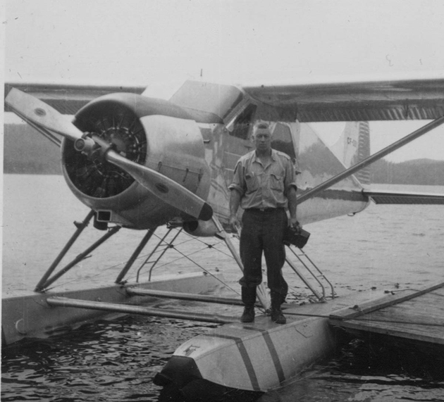
As mentioned, during the 1960s Lands & Forests were decommissioning their fire towers. As the ‘60’s advanced such towers gave way to aerial wildfire surveys thought to have originated with Algonquin Park’s first ‘Flying Superintendent’ Frank McDougall (1931-1941), a Vimy Ridge vet. Ultimately in the course of his career he became Deputy Minister of Lands & Forests. King’s Highway 60, the main corridor through Algonquin Park, is also known as the Frank McDougall Highway in his honour.
The decommissioning began in part because the provincial government didn’t want any lawsuits thanks to careless folk injuring themselves while climbing unmanned towers. According to one source some towers were taken down by a charge of TNT strategically placed at their base footings or crews that took them apart piece by bolted piece. “The odd one was pulled over by truck and left to decay.” To-day, some of the few that were spared demolition serve as landmarks and tourist attractions – such as at Dorset where, as of 2023 you need to make a reservation and pay to climb its stairs. It used to be open 24 hours a day and there was no charge. Times change. Some apparently are for rent. I suspect that is more applicable to the U.S.

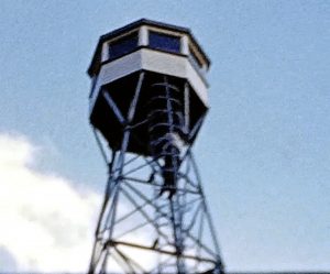
The Dorset Scenic Lookout Tower is located off Highway 35 just north of the village of Dorset. The original lookout fire tower was built in 1922. It was 25 metres tall (82 feet). The current tower was built in Canada’s centennial year (1967) and is 30 metres or 100 feet high. At one time it was not unusual for more than 600 vehicles to visit the Dorset tower in one day.
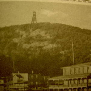
To date I have not been able to find any photos of towers that were located in North Hastings. In former days, Bancroft came under the Lands & Forests’ Tweed District umbrella. At one time there were two fire towers on the Eagles Nest and one along the Monck road on the Lyman property, according to Clayton Self. “There was one tower there (Eagles Nest) and another tower just about 500 m east of it on another peak. There was an earlier Faraday tower on Lyman Road. But if you try to find that one you’ll get lost in the forest unless you take a Lyman with u.” (email)
Fire Towers also were located at Cardiff, Cashel, Dungannon, Limerick, Ormsby and Tudor.

For the record, Ontario’s 2020 wildland fire season officially ended on Oct. 31, closing well below Ontario’s 10-year average in total number of fires and total affected areas. Between April 1 and Oct. 31, 2020 there were 607 fires compared to the 10-year average of 870 fires for the same time frame. The 15,460 hectares burned was less than 10 per cent of the 10-year average of more than 162,000 hectares. Lingering snow cover and above-normal precipitation in the spring is credited with a slow start to that fire season.
NOTE: To see a map record of Ontario fire towers search for: Ontario(a)s Fire Tower Lookouts.
